Planchetorte-Chevrecujols
BRIVE-LA-GAILLARDE
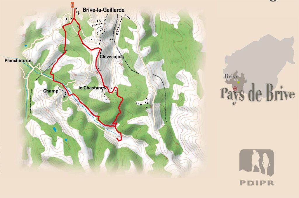
At the gates of Brive, but already in the countryside, this shady route takes you through the Planchetorte valley, an important listed and preserved site. Numerous caves occupy the sandstone walls. Difficult to see in summer, they were habitats and shelters for the men of the Paleolithic. The Planchetorte valley is also incredibly rich in flora because of the diversity of environments that can be observed there.
Practical info
- Elevation: 306m
- Marking: Yellow
- Distance: 6.3km
- Type of itinerary: Walking. Mountain bike